A Fresh Perspective
Aerial Capabilities
The growing popularity of unmanned aerial vehicles, often called drones, has brought exciting new opportunities for industries and individuals alike. The video “What can drones do for you?” shows how licensed operators like myself can film inspiring videos, gather useful data, and offer a fresh perspective.
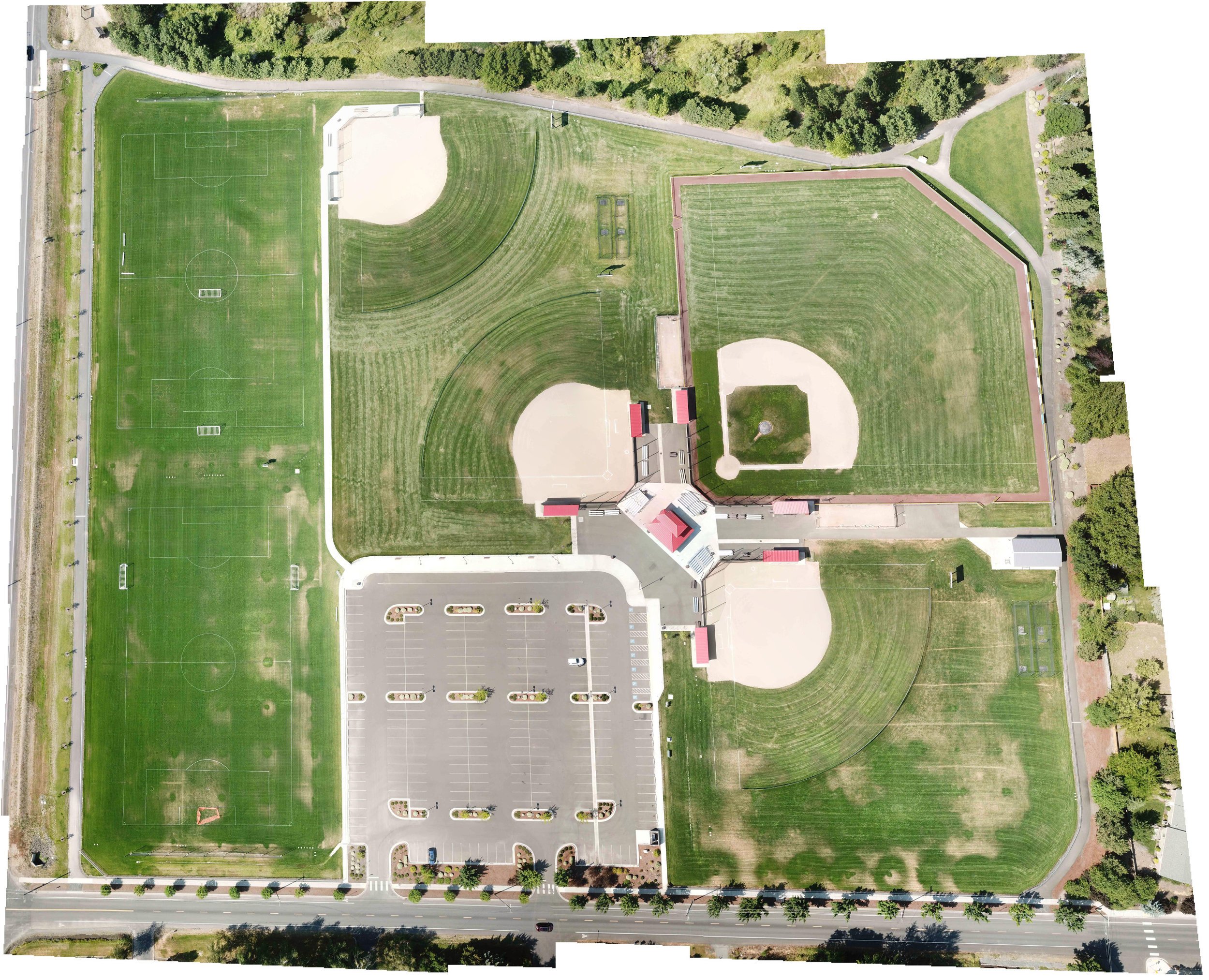
Irrigation Mapping
This composite image shows where an irrigation system is insufficiently watering playfields. By mapping properties before, during, and after large-scale irrigation installations, I enable technicians to fine-tune their systems for optimal water usage.

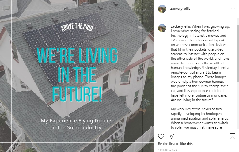
Solar Surveys
This work lies at the nexus of two rapidly developing technologies: unmanned aviation and solar energy. When a homeowner wants to switch to solar, we must first make sure their structure is compatible with a new installation. Drones help us conduct structural inspections, gather data about shading obstructions, and create 3D models to help engineers make accurate assessments. What was once an all-day event requiring ladders, surveying equipment, and precarious heights can be done in half an hour with a skilled drone operator. To date, I have collected aerial data for more than 120 structures.